
And here we are, this is a town close to mine and one of my son’s worked here! We have passed by it several times yet my stories on the town are minimal. I try to remedy that on this memorable day of 11 November 2021 in my beautiful Morbihan and my lovely Bretagne of my belle France! Let me tell you about some of the curiosities of Crac’h !!! Hope you enjoy the post as I
The town of Crac’h is also, part of the Auray Quiberon Terre Atlantique community of towns like mine. The town of Crac’h is bordered to the east by the Auray river, to the west by the Crac’h river, to the south by the towns of Saint-Philibert and Locmariaquer and to the north by the town of Auray.
You can get to Crac’h easily from the expressway N165 Nantes-Brest exit for Crac’h/Saint Philibert/ Locmaraiquer/La Trinité sur Mer exit/sortie 32. The dept capital city of Vannes is only 23 km away , Auray is 6 km, and Paris is 480 km away, It is about 23 km from my house. Once off the N165 you get on the D28 which to the south joins the D 781 in the direction of Locmariaquer or La Trinité-sur-Mer depending on the direction taken. The nearest train station is in Auray with TGV and TER service to Paris, Rennes, Nantes, etc you need to take a bus or taxi to Crac’h, The nearest airport is Lorient Bretagne-Sud, I always come here by car of course.
With its 57 hectares (about 141 acres) spread over 3 km of coastline, the Domaine du Plessis Kaër benefits from a breathtaking site with a plunging view of the Auray River. It is located by the site of Poulbenn in the town of Crac’h, in my beautiful Morbihan , lovely Bretagne, and belle France, I could not get close as this is under heavy renovation and a private property, One to check further later on with ok from the Heritage Foundation of France. You will find many more magnificent spaces there such as a 15C castle, a manor entirely renovated, a forest, green moors, sea lanes, a farmhouse, former 19C stables, an orangery, a dovecote, a fountain and a washhouse. The history of the Domaine du Plessis Kaër begins in 1105, when the land of Kaër was established as a lordship with the right of justice over the parishes of Crac’h and Locmariaquer. The first buildings were built from the 12C, while the Château was built by François de Malestroit in the 15C. The castle was acquired in 1727 by Christophe-Paul de Robien, president of the Parliament of Brittany, famous collector and pioneer of archeology in Brittany, who contributed to its interior design by installing a study there. Of course, it was sold as national property in the French revolution. The new rehabilitation project of the Château du Plessis Kaër, winner of the Mission Stéphane Bern 2022, is today in an alarming state of degradation and constitutes the priority for intervention on the entire estate. The restoration work is substantial given the current state of the castle ,End of work estimated for 2027, You will pass the old tide mill located on the edge of the Etang de Poulbenn pond in Crac’h, this former tide mill was used to grind grain using the energy of the sea present in the Gulf of Morbihan. I must say at the entrance to the above you have the Antiquité Brocante Décoration store On the site of a former tide mill of Poulbenn,in Crac’h, Very nice folks and worth the detour to check their wonderful items out, webpage : https://www.poulbenn.com/
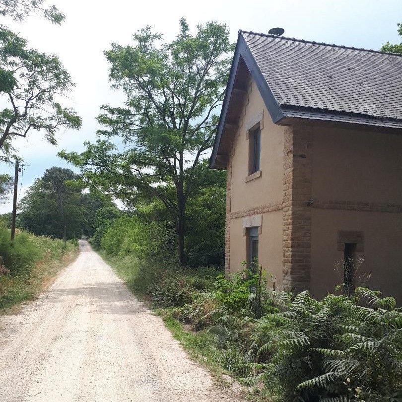
The official Domaine du Plessis-Kaër :https://www.plessiskaer.fr/
Things to see in Crac’h are the Church Saint-Thuriau (see post) the parish church dates from 1809. It has been the subject of several restorations. In 1828 the Duchess of Berry granted the town of a relief for repair: The steeple located near the coasts would be a useful point of view for navigators The two dolmens of Parc-Guéren, the door of the staircase turret of the Château du Plessis-Kaër, the dolmen of Kerourang, the dolmen of Mané-Rohenezel, the dolmen of the Mare the walkway covered by Luffang Tal er Roch, the Gallo-Roman aqueduct of Rosnarho. The Château de Kérantré is on the right bank of the Auray river. It was built in the late 18C as a replacement for a former manor house destroyed by a fire in 1788. The place served as an asylum for the escaped emigrants following the Quiberon affair in 1795 (plot by Bretons against the French revolution). The house chapel was dedicated to Sainte-Anne. Nearby was the bridge called Caesar’s bridge in the countryside, which put in communication the two parts of the Roman way between Vannes and Locmariaquer.
A bit of history I like tell us that the Breton emigrants, who came from the British Isles in the 5-6C, colonized the territories of Crach, like those of the rest of Armorica, which then became Brittany/Bretagne/Breizh, to such an extent that all the place names are borrowed from the language which has become Breton, starting with that of the parish. Crac’h, in all likelihood, is a variant of “Kreac’h, kreh” which means: hill,a hill.
The Fort Espagnol or Spanish Fort was the result of the Wars of the League, in 1590, the Duke of Mercœur, governor of Brittany, at the head of the Breton League, appealed to the King of Spain Felipe II, who sent 3000 Spanish soldiers, commanded by Juan de Aguila, who arrived in Vannes in October 1590. In 1598, the Peace of Vervins put an end to the Spanish occupation, which caused the departure of their soldiers. Around this area plenty of oyster farming the very best of Morbihan, and sold to the public as well.
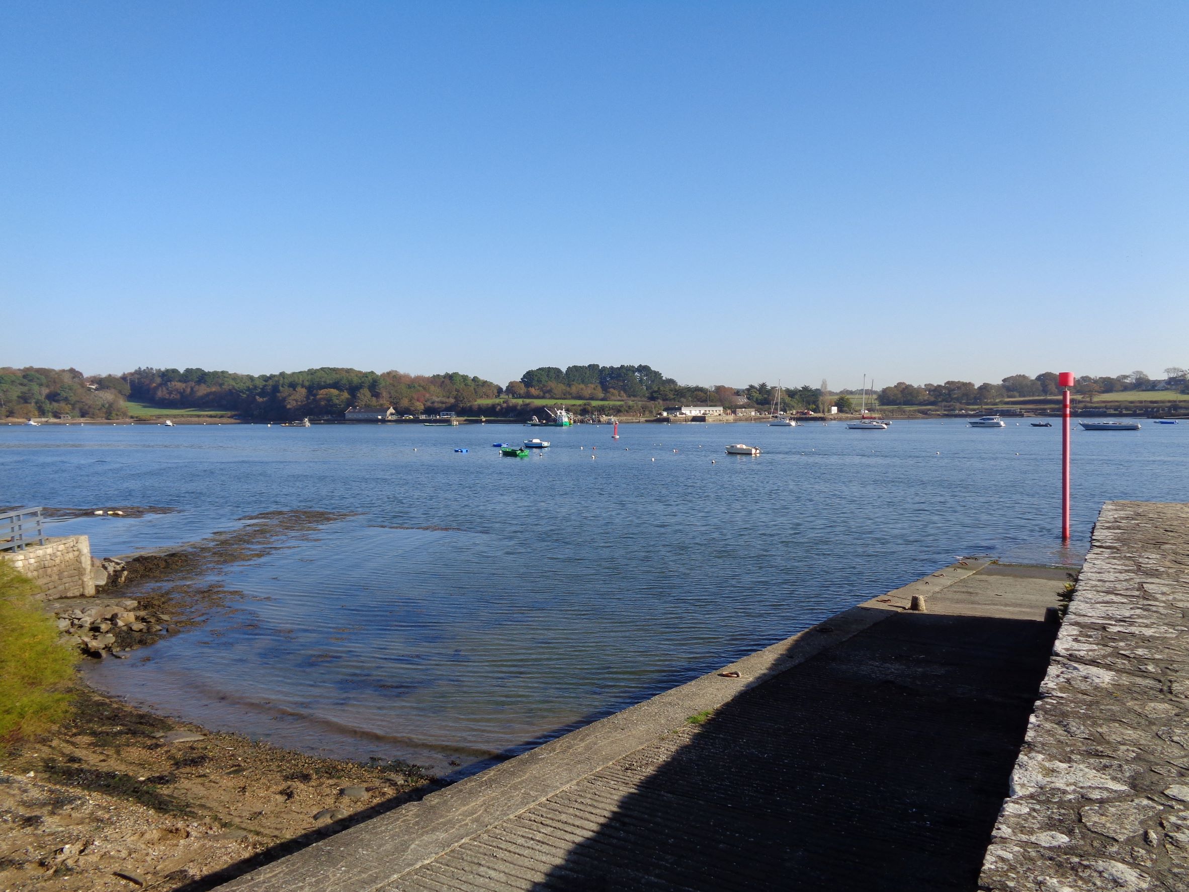
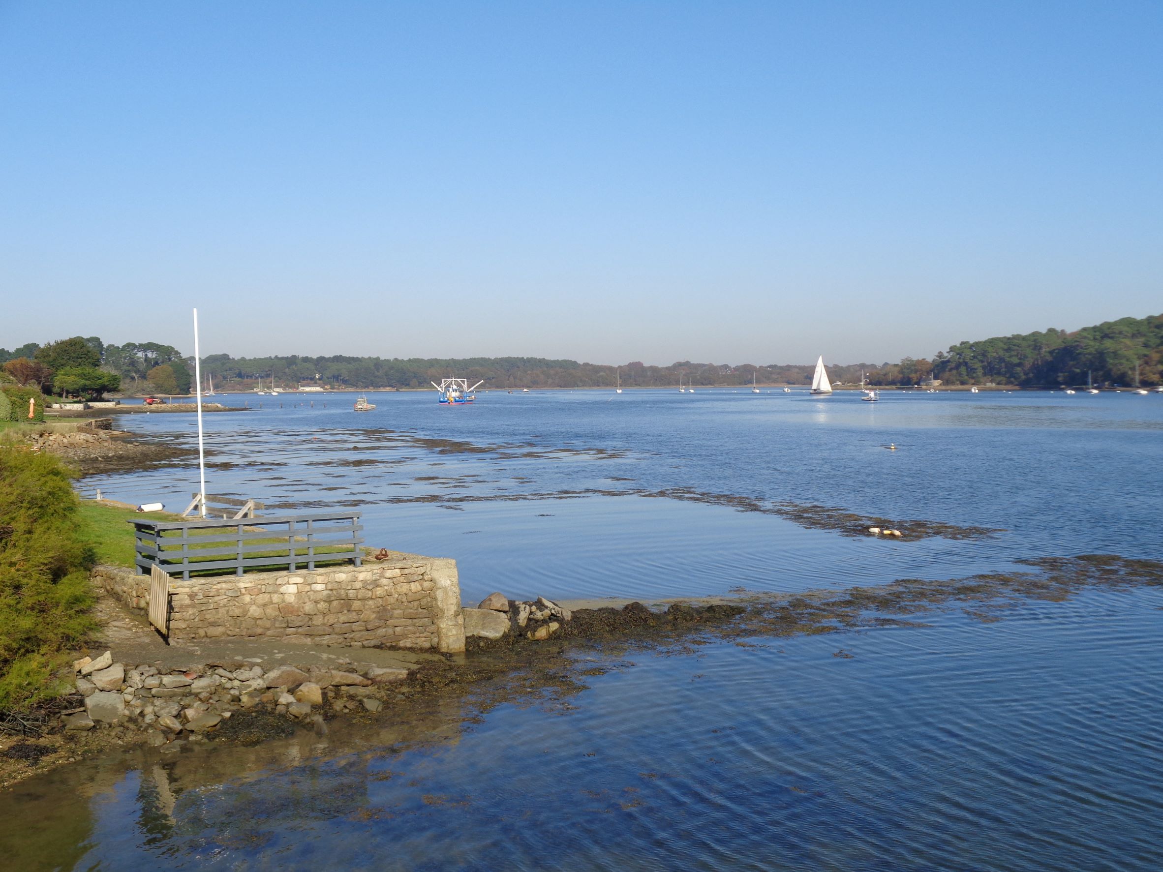
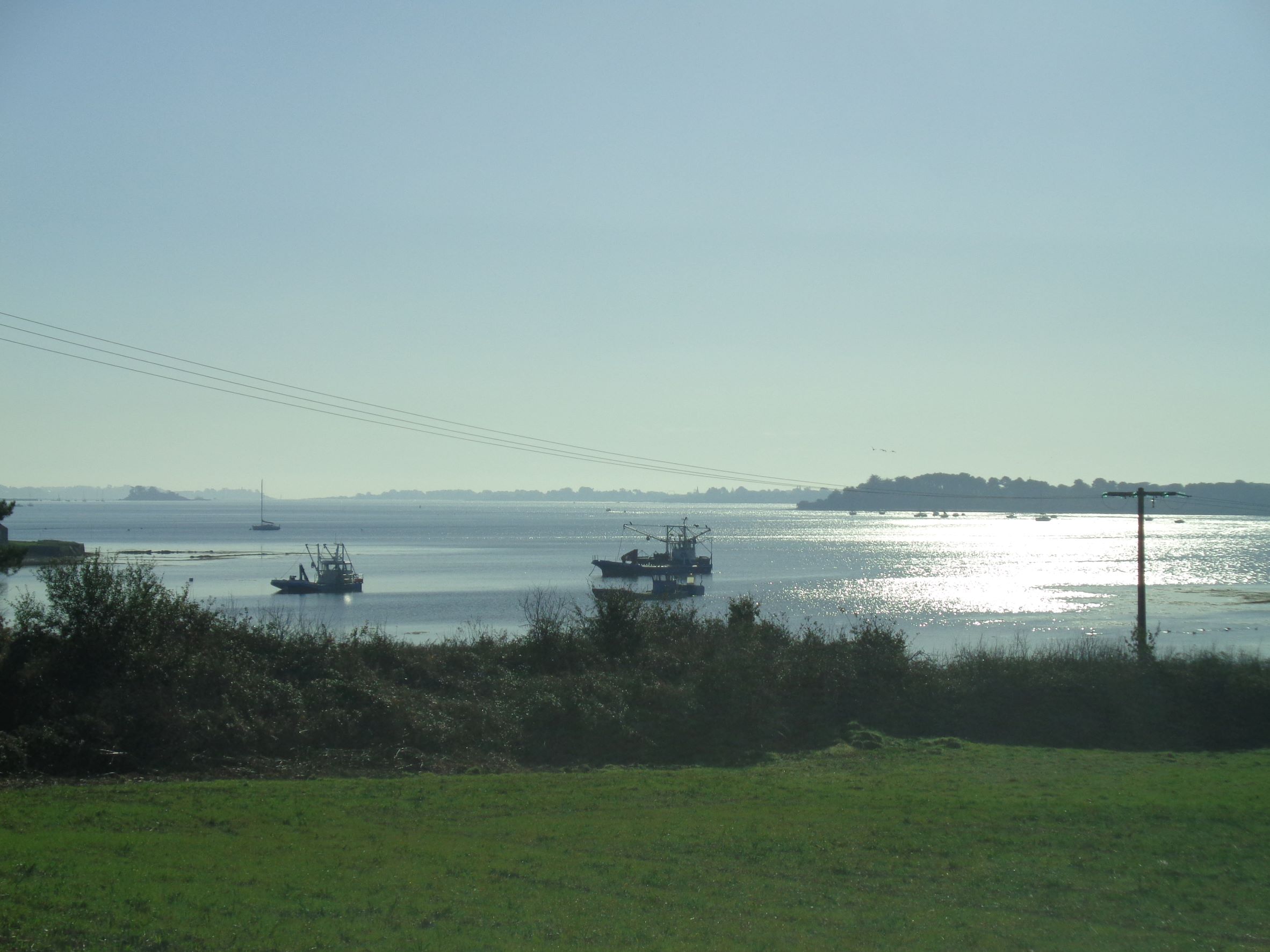
Some of the other things to see here are the Pont de Kerisper bridge (see post) was built between 1899 and 1901, This bridge consisted of stone arches at both ends, with a metal deck (Eiffel type) 100 meters long and single-track in its central part. This bridge was destroyed by the Nazis on August 8, 1944. The new and current Kerisper bridge was inaugurated in 1956.
The castle of Kerantrech served as a refuge for fleeing emigrants after the Quiberon expedition in 1795 (Breton immigrants from England coming to fight the French revolution for king), Several inhabitants of Crac’h were Chouans (as the rebels were call by the revoluitionaries meaning farmers from Bretagne). The cemetery ossuary, was formerly leaning against the church, it has been transported to the cemetery and lean-to on the back wall. Its long facade has at the base a low wall with a protruding cornice, above a skeleton made of four series of balusters separated by short piles and finally a drip edge under the roof. Larger, the central stack bears an inscription with the emblem of death: a skull and crossed tibias. It is dominated by a small cross.
In the old enclosure of the cemetery there was a chapel dedicated to Saint Yves. It received a new bell in 1867, relics of Saint Louis and Saint Helena in 1875. It was then used as a chapel for the Congregation. Between the door and the square steeple, a small niche contains a granite statue of Saint-Yves The vault of the nave shelters a colony of bats, large murines , It is a rare and protected species.
The City of Crac’h on heritage/history: https://www.ville-crach.fr/fr-histoire,5.html
The local Bay of Quiberon tourist office on Crac’h: https://www.baiedequiberon.co.uk/crac-h
There you go folks, a dandy little town ,nice clean with lots of action as today was also market day and we load up on baguette tradition, cheeses of the Tarn dept, Loire, and Bretagne of cows, goats,and sheep milks for our delight as always. Again, hope you enjoy the post on curiosities of Crac’h !!! as I.
And remember, happy travels, good health, and many cheers to all !!!


What a blessed tour. Thank you for the share.🙏💓
LikeLiked by 1 person
Thanks for stopping by cheers
LikeLiked by 1 person