
Lots of history here, and lots of memories visiting and riding once living in nearby Versailles. The town of Buc is in the Yvelines department no ,78 in the Île-de-France region of my belle France. It has been a while and perhaps nostalgic ,glad to found me pictures in my cd rom vault that should be in my blog for you and me, Therefore,here is my take on the aqueduct of Buc !!! Hope you enjoy the post as I.
For info, the town of Buc is located 21 km from Notre-Dame Cathedral in Paris, and 4.5 km from the Palace of Versailles. Of course, we came here from Versailles turning right on the marché de Notre Dame along Rue Maréchal Foch, Avenue de l’Europe, Ave du Gén de Gaulle, Rue Royale, turning left on Rue Henri de Regnier ,bearing right on rondpoint Saint Martin or D938 road, continue then turn right on Rue de la Porte de Buc and continue on Rue Louis Blériot running behind the park of Versailles on the outskirts of the town of Buc,Its a pretty long aqueduct rather impressive me think,
The Buc Aqueduct was commissioned by Louvois, Superintendent of Buildings, Arts and Manufactures since Colbert’s death in 1683, designed by Jules Hardouin-Mansart, and implemented by the engineer Thomas Gobert, was built by soldiers of the Royal Normandy Regiment starting in 1684. The aqueduct was put into service on June 13, 1686. The structure is 580 meters long, has a total height of 24 meters, and its tunnel descends to a depth of over 30 meters. It is composed of two tiers of 19 superimposed arches, each 21 meters high. The piers of the lower arches are spaced 9 meters apart; they are 4 meters thick and have foundations 24 meters deep. At the top, the aqueduct itself is 1 meter wide, 1.91 m deep and covered with heavy stone slabs. A small fountain keeper’s house is attached to the structure.
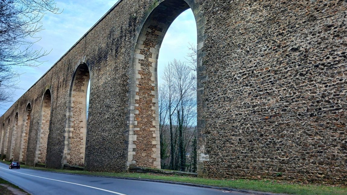
From its inception, the park of Versailles (see post) required ever more water to supply its increasingly numerous and impressive fountains and water features. After the small pond at Clagny, which quickly proved insufficient by 1672, and then the hydraulic network to bring water from the ponds of Trappes and Bois d’Arcy from 1678 onwards, the King’s engineers sought other possible sources of water. The Buc aqueduct was intended to carry by simple gravity, the waters of the Saclay plateau located between the valleys of the Bièvre and the Yvette and the ponds which were there, called lower ponds. The aqueduct was connected to the Trou Salé and Pré Clos ponds in Toussus-le-Noble, which were themselves connected to the Saclay pond via the Orsigny pond and an underground aqueduct, itself connected to the Villiers pond by the Miners’ aqueduct. Awesome !!!
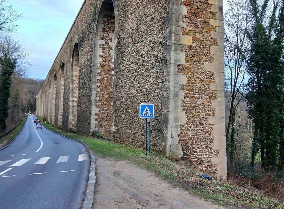
The town of Buc on its heritage: https://www.villedebuc.fr/35/ma-ville/decouvrir-buc.htm
The Yvelines dept 78 tourist office on the heritage of Buc: https://www.destination-yvelines.fr/visites-et-decouvertes/aqueduc-et-arcades-de-buc/
The Versailles tourist office on the Buc Aqueduct: https://en.versailles-tourisme.com/aqueduc-et-arcades-de-buc.html
The local Haute Vallée de la Biévre tourist office on the Buc aqueduct: https://www.valleedelabievre.fr/en/file/5501264/les-arcades/
There you go folks, a historical wonderful area we love from our former hunting ground. The town of Buc is worth the detour, and you should enjoy it all surrounded by lush surrounding in noble French traditions. Again, hope you enjoy this post on the Aqueduct of Buc !!! as I .
And remember, happy travels, good health, and many cheers to all !!!


